

Land Development
Engineers
Engineers






Services


Site / Civil Engineering

Traffic & Transportation Engineering

Geotechnical Engineering

Landscape Architecture & Planning

Permitting

Surveying
Projects

Insights & News
Firm Overview
Careers
Contact Us





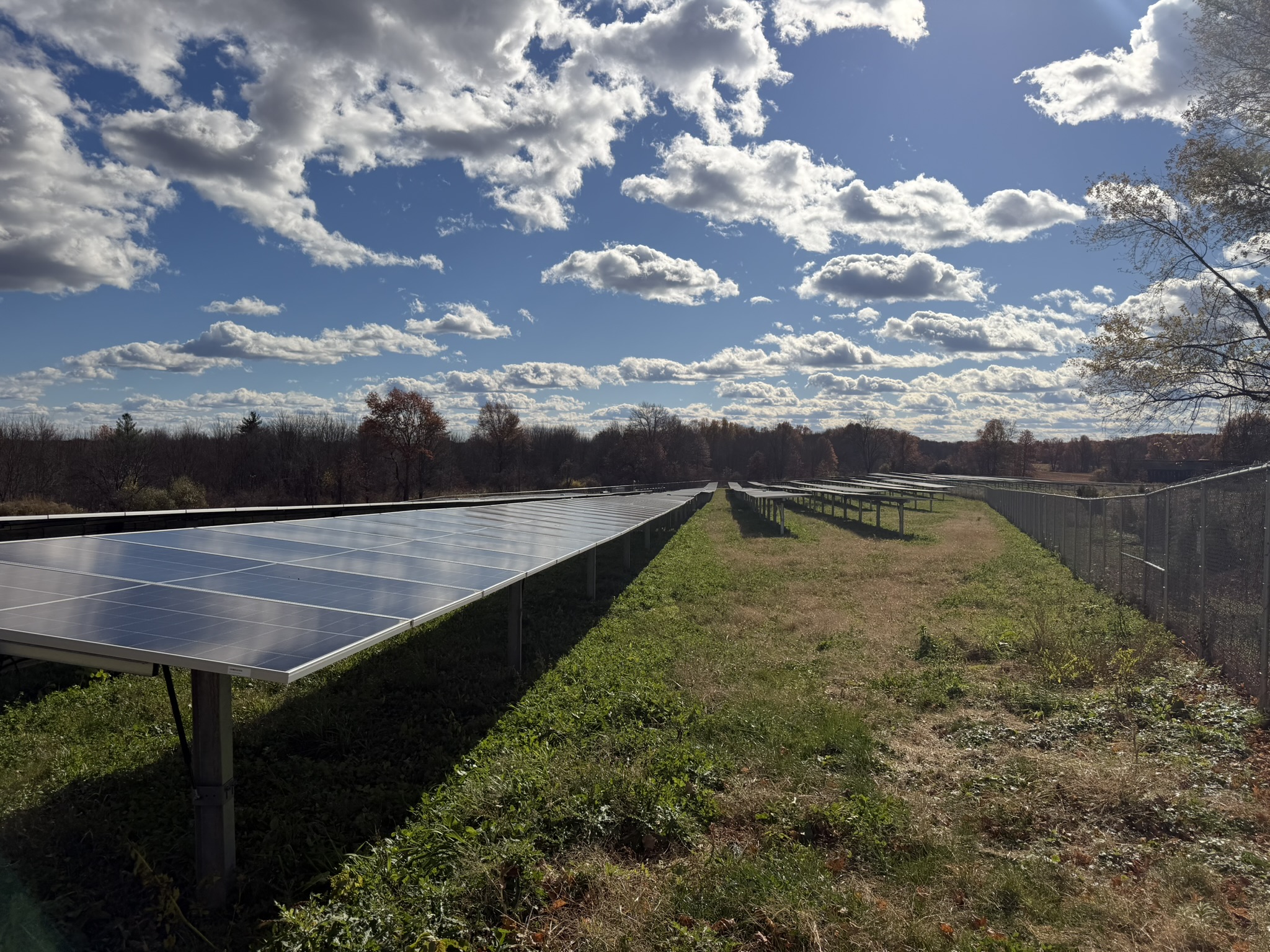
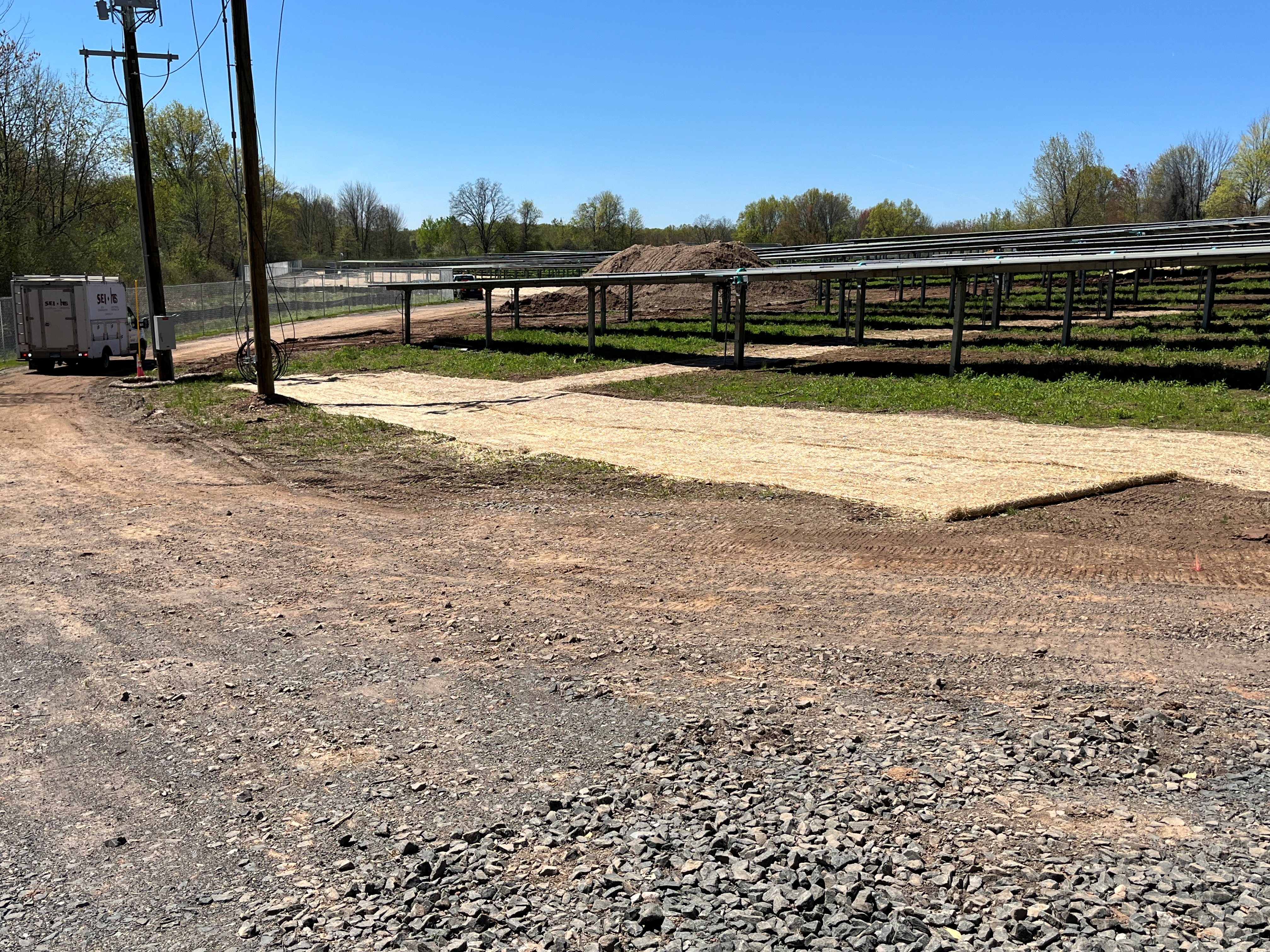
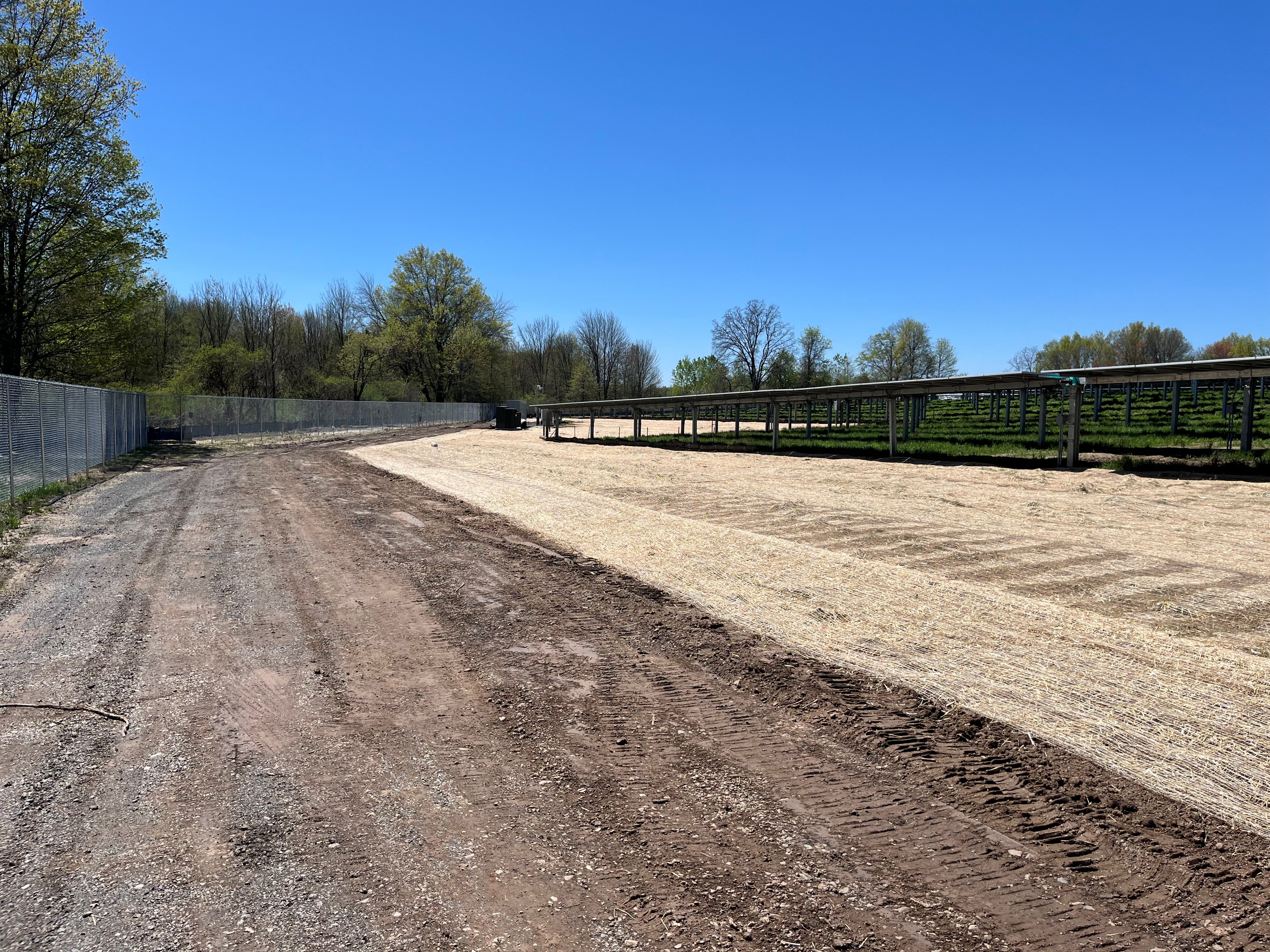
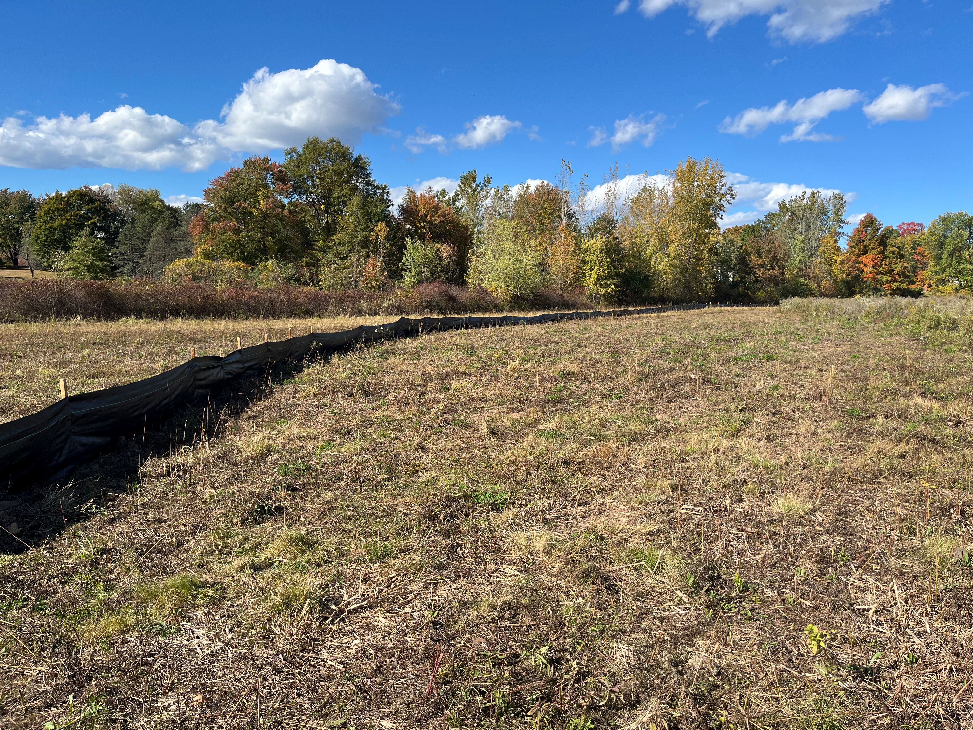
While many solar projects are sited on farmland, the Suffield project stands out because it was engineered around a tightly constrained agricultural parcel bordered by multiple environmental and neighborhood sensitivities, rather thana large, open, unconstrained field. The site contained two separate wetland systems flanking the developable area and nearby residences at slightly higher elevations, which created a narrow and technically complex “window” for development. Instead of displacing agricultural use or pushing into sensitive areas, Solli effectively “threaded the needle”—positioning the array within the existing field while preserving both wetlands, maintaining buffers, and retaining perimeter vegetation. This level of constraint-driven layout optimization is uncommon for typical farmland solar siting, where more flexibility is often available.
What further distinguishes the project is the way multi-use agricultural continuity was elevated from a secondary consideration to a core design driver. Rather than simply preserving farmland outside the array footprint, the design supports active agrivoltaic use within and around the facility, including ongoing crop production and the potential for apiaries. This approach transforms the site from a passive conversion of farmland into energy use into a dual-use system that maintains agricultural productivity, maximizing land efficiency without sacrificing environmental performance.
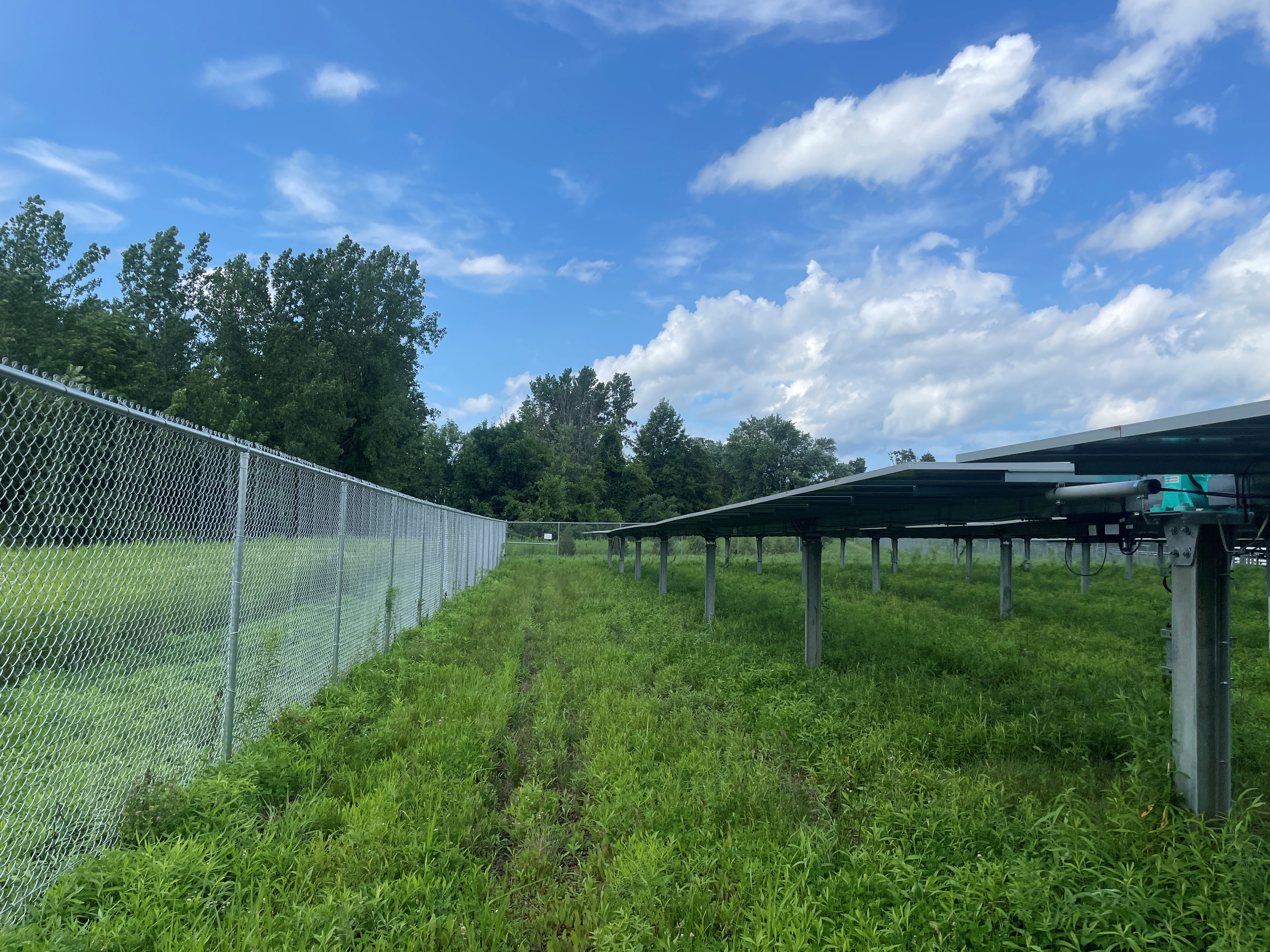
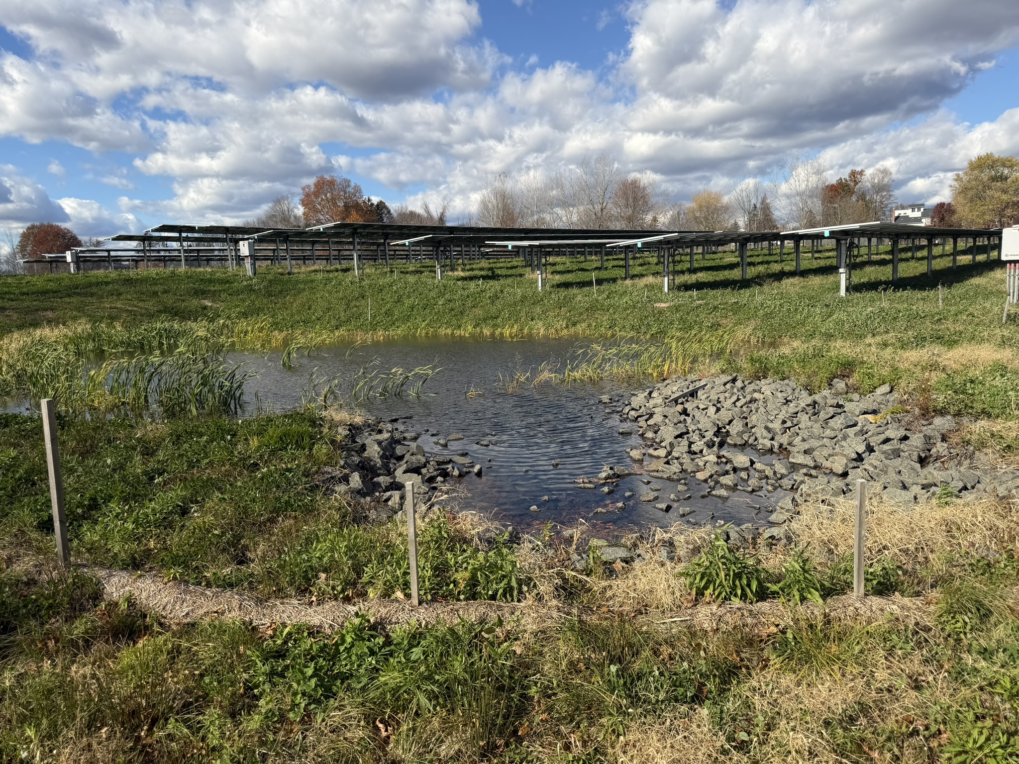
Finally, the project is unique in how it integrates site engineering with visual and community constraints typical of more suburban-edge locations rather than rural farmland. The proximity of homes, visibility from higher ground, and frontage along Spencer Street required Solli to treat the site almost like an infill development—adjusting pole spacing, incorporating targeted landscaping, and carefully controlling grading and drainage. The result is a solar installation that behaves less like a conventional rural array and more like a precisely fitted infrastructure project, demonstrating a higher level of design refinement driven by overlapping land use, environmental, and community considerations.
Civil, traffic, geotech, environmental, landscape, survey, and permitting — when it all needs to work together, we’re the team to call.



.svg)